With drones, sensors and software, we collect accurate field data. This makes your data immediately usable for analysis, integration and process optimisation.
Our technologies
A complete toolkit for data collection in any environment
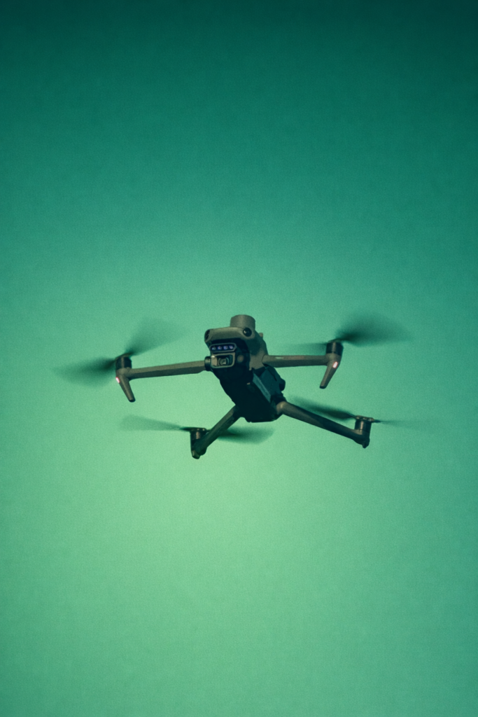
Unmanned systems
Various unmanned systems and sensors in the air, on water and on land. Suitable for any situation.
LiDAR-scanning
Accurate 3D measurements for terrain models, volume calculations and inspection of infrastructure and assets.
Multispectral & Hyperspectral
Advanced imaging for insights into vegetation, soil conditions and materials. From crop monitoring to inspection and analysis.
IoT-sensors
Continuous monitoring of assets and environments using smart sensors. Providing both real-time insights and immediate detection of anomalies.
GPS & RTK measurements
Centimetre-level accurate measurements for positioning, mapping and reliable support for analysis.
Data processing & Modelling
Processing raw data into usable models, maps and datasets. Ready for analysis and integration into your systems.
What our data collection delivers
Faster data processing
Higher accuracy
Safer inspections
Lower operational costs
Real-time data visualisation
Field technology directly connected to your ERP environment
Our solutions are designed to integrate seamlessly with enterprise systems such as SAP, ensuring that field data is immediately available for analysis and decision-making.